Scoilnet Maps – Using Layers (Flooding)
14th November 2023
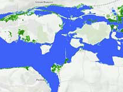
Scoilnet Maps contains a number of data layers and tools that allow easy use of maps in class.
On the map viewer, zoom to a specific location and apply the OPW Flooding layer (from the layer menu on the top right) and take a look at catchment and coastal areas prone to flooding.